Playa S'Arenalet d'es Verger
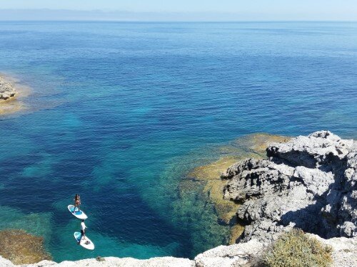
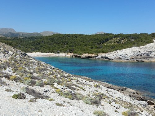
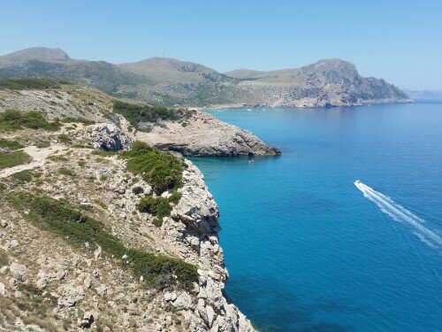
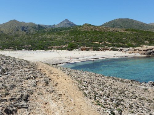
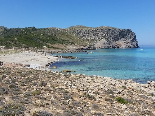
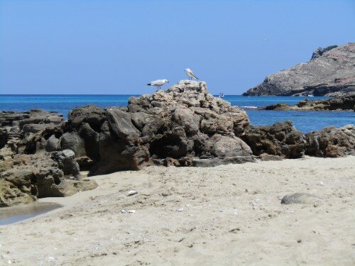
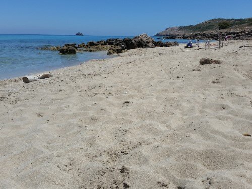
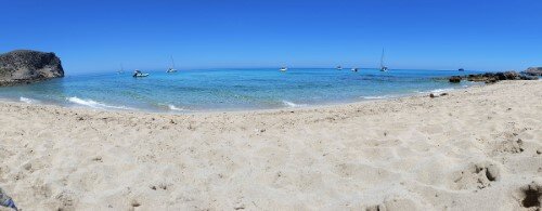
This easy-medium 5.6 miles route, with an elevation loss and gain of 1246 feet, brings us to the Playa S'Arenalet d'es Verger also known as S'Arenalet d'Albarca. It's a sandy virgin beach, in the Natural Park Llevant, with crystal clear water, where you barely will find other people.
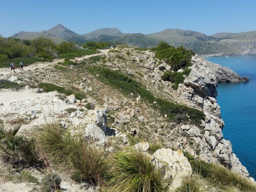
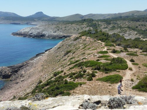
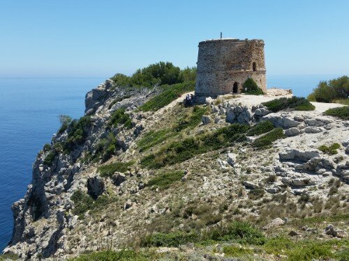
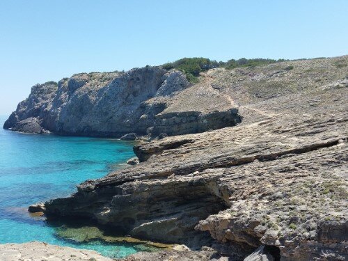
The way is mostly easy, only some parts are more difficult, as you have to walk along the rocky uneven coast. On the way, you will visit the tower d'Aubarca and the virgin bays Estreta, Es Matzocs and Sa Font Celada.
easy-medium 3:20 h 5.9 mi 10 ft 289 ft 1247 ft
map
Route
Start
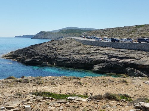
We start the excursion at Cala Estreta, coordinates 39.754110, 3.412016 (directions). You can park here easily.

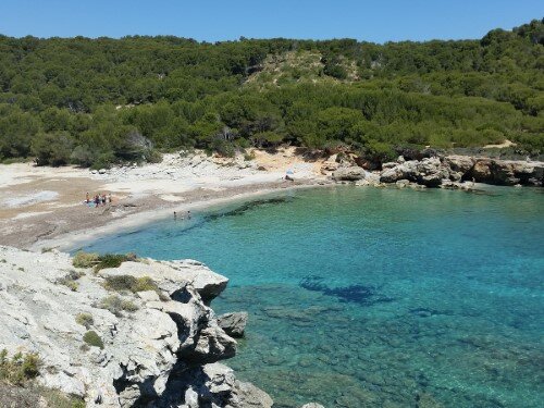
Cala es Matzocs
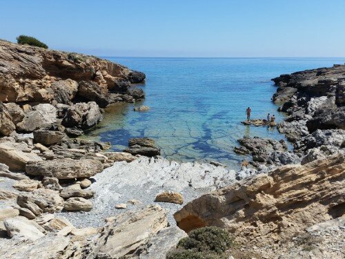
You follow the nearly even but rocky trail along the coast for one mile to arrive at Cala Matzocs. A small virgin bay with a sandy beach. The trail is hard to see, so you might end up walking cross-country.

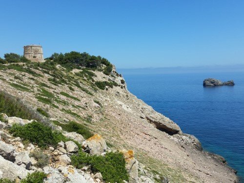
Torre d'Aubarca
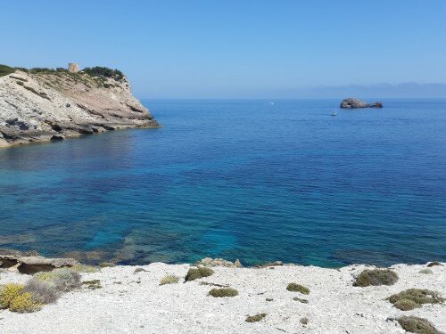
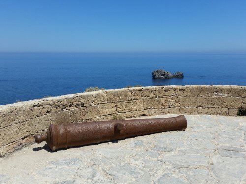
After Cala es Matzocs you follow the path for 0.3 miles with a moderate ascent of 165 feet, to reach the Tower d'Aubarca. The tower is open and you can go up and enjoy the views from the rooftop.

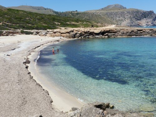
Cala de sa Font Celada
From the tower, we follow the way for 1.2 miles along the coast and with a moderate descent at the start, to reach to the Cala de sa Font Celada. Another small virgin bay with a sandy beach.

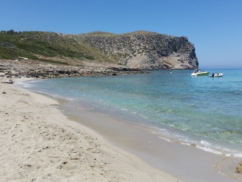
Playa S'Arenalet d'es Verger
From the previous bay, you follow a quarter mile along the coast to reach your destiny, the beach S'Arenalet d'es Verger. Also known as S'Arenalet d'Albarca, this is a sandy virgin beach although you can find a shower and bathrooms in a nearby refuge. Please be careful not to damage nearby protected flora which is indicated with signs.
Return
You return by the same way until Cala de Sa Font Celada. From here you can vary the route following another, much easier path, but with more elevation gain and away from the coast. After a moderate climb with an elevation gain of 165 feet, you walk 0.9 miles on an easy even way and then descent again to sea level arriving at Es Matzocs bay. From here you follow the same way to the departure point.
Copyright © 2016 Robinson Riesco Silva
