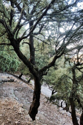
Climbing Puig d'En Galileu passing Ses Voltes d'En Galileu
This easy 5 miles route, with an elevation gain and loss of 2080 feet, near Lluc in the Tramuntana mountains guides us through a piece of Majorcan history on the way and stunning views at the top.
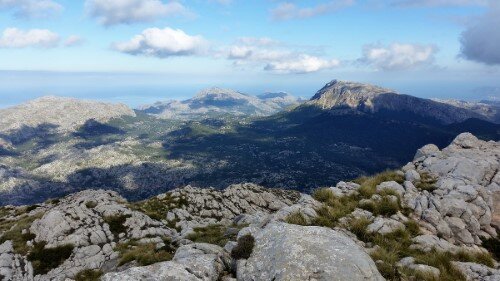
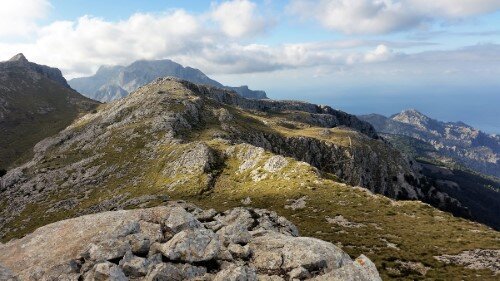
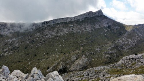
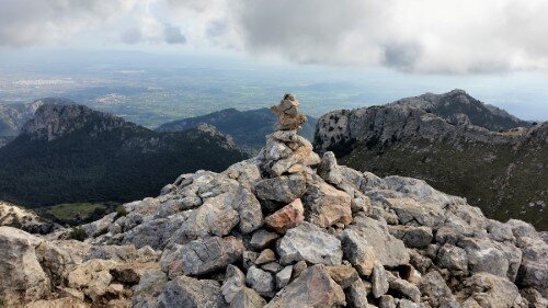
The technical difficulty is easy, the whole excursion consists in trails or cobbled ways. In the first part of the route you can see antique charcoal making facilities (stone rings on the floor) and barracks. There are also two antique "snow houses" Son Massip and Galileu, where centuries ago ice was made out of snow in winter for use in summer. Once on the mountain top, you can enjoy amazing views to the Alcudia Bay, ant the mountains Masanella and Puig Major.
easy 4:15 h 5 mi 1998 ft 3763 ft 2080 ft
map
Route
Start
We start the excursion in the urbanization Son Massip, coordinates
39.819542, 2.869875 (directions).
You can park here easily.
Public transport is also an option. The line 330 brings you to Lluc, from where you arrive to our starting point (Son Massip), following the sign of the GR-221 trail for half a mile.

Antique charcoal making facilities
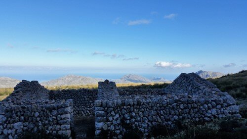
The route starts with a slight uphill trail, turn right at the first crossing. At the second crossing turn right again and enter the GR-221 route "Camino de ses voltes d'en Galileu". We can see the antique charcoal maker barracks and the stone rings on the floor ("Sitges") where they used to make the charcoal.
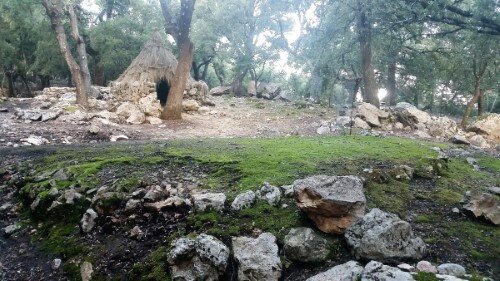

Casa de neu de Son Massip
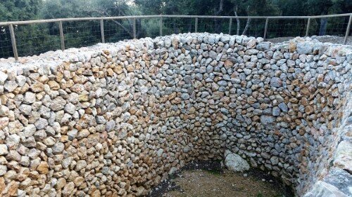
After approximately one mile, you arrive at the "Case de neu de Son Massip". In this antique but restored facility, they used to store snow in winter, pressing it and converting it to ice, to use it in summer to cool drinks and also for medical uses.
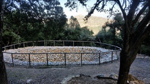

Voltes d'en Galileu
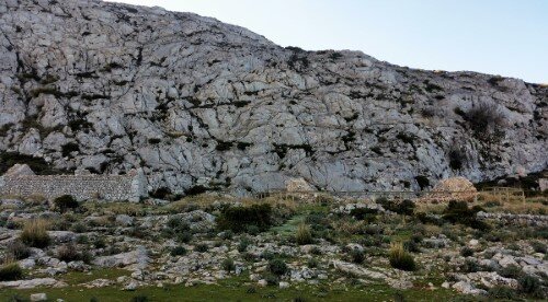
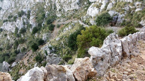
At this point the uphill gets stronger. There is an elevation gain of 650 feet in the following half mile. This cobbled way is known as "Ses Voltes d'en Galileu" for its S shaped turns.

Casa de neu d'en Galileu
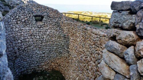
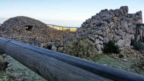
After the uphill, the path gets flat. At the crossing you have to turn right to arrive at the "Casa de neu d'en Galileu", which is worth seeing.

Puig d'en Galileu
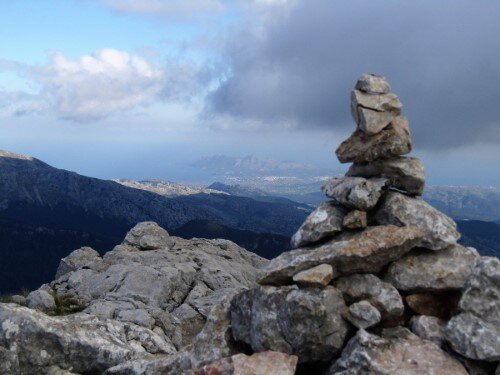
After visiting the snow house, we go back to the last crossing and follow the trail on the right hand. After half a mile you will find a sign indicating to turn right, you have to ignore this sign and follow straight. About 0.2 miles away from this sign, and after 160 feet elevation you arrive to the summit of this mountain.
Return
You can return the same way and as you see on the map take the path to the right at the second crossing to see something more of the area.
Copyright © 2016 Robinson Riesco Silva
